
METHODOLOGY · PUBLIC APPROACH NOTE V1
How the evidence is assembled, tested and bounded.
This note describes the proposed evaluation approach. It is not a claim of measured accuracy, universal coverage or completed validation.
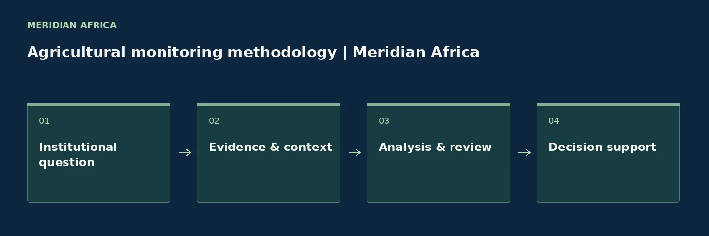
Sources and usable coverage
The source schedule for an engagement must name the sensor or provider, acquisition period, spatial resolution, usable observations and licence conditions. No fixed source, resolution, revisit rate, country or crop coverage is promised on this website.
- Earth observation: imagery and vegetation observations.
- Weather: rainfall, temperature and relevant historical context.
- Moisture, terrain and land-use indicators.
- Client records: sourcing zones, boundaries, crop calendars and field evidence.
Nominal satellite revisit is not the same as a usable observation. Cloud, field size, mixed cropping and incomplete boundaries affect coverage. Nigeria is the lead engagement geography; each catchment must be assessed.
Analysis
Define the unit of analysis and production period first. Compare dated observations against a relevant baseline, document spatial variation and separate the observation from its interpretation.
A technical schedule should state index definitions, baseline windows, exclusions, cloud and quality handling, and proposed exception thresholds. These details are agreed and tested for the engagement, not assumed from the sample.
Validation before scale
- Agree independent field or operational records for comparison.
- Include normal locations as well as flagged exceptions.
- Record timing differences, missing observations and disagreements.
- Review actionable findings and false alarms with the responsible team.
- Publish performance figures only after measurement and approval.
The website makes no measured accuracy claim. A pilot is an evaluation process, not automatic proof of effectiveness.
Limitations
Remote observations do not directly measure factory inventory or guarantee future commodity tonnage. Weather, vegetation and moisture signals require crop, season and field context. They support investigation; they do not establish supplier performance, insured loss, borrower conduct or investment viability.
Cloud, spatial resolution, crop mixtures, management practices and data gaps can restrict interpretation. Missing evidence must be shown as insufficient evidence, not a normal condition.
Update cadence and change log
Cadence is agreed against available observations and the institution’s review cycle. Acquisition date and report date should be shown separately. No continuous or real-time service is implied.
Method MA-METHOD v1.1 · Updated 6 October 2026. Initial framework, synthetic sample format and validation checklist. Subsequent changes should record the method version, reason and effect on comparability.
Glossary
- Catchment: the defined geography from which a processor expects supply.
- Baseline: a stated period or reference used for comparison.
- Exception: an observation that triggers a defined review question.
- Validation: comparison with independent evidence for a specific use.
- Insufficient evidence: a gap that prevents a reliable interpretation.
REFERENCE SOURCE SCHEDULE
Named sensors. Explicit resolution and timing.
The following are reference options for engagement design, not a declaration that every deployment uses them. The agreed source schedule identifies the actual product, licence, acquisition dates and usable coverage.
Sentinel-2 MSI
Multispectral bands at 10, 20 and 60 metres. Nominal five-day equatorial revisit for a two-satellite configuration; clouds and quality screening determine usable observations.
Landsat 8 / 9 OLI
Multispectral observations at 30 metres; 16-day repeat per satellite with an eight-day offset between the two. Usable field evidence depends on acquisition and quality.
For Sentinel-2, a vegetation comparison can use the red and near-infrared bands at 10 metres. A moisture comparison involving short-wave infrared must account for its 20-metre band resolution. Resampling does not create finer native detail.
Index and quality handling
- NDVI compares near-infrared and red reflectance: (NIR − Red) / (NIR + Red).
- NDMI compares near-infrared and short-wave infrared reflectance: (NIR − SWIR) / (NIR + SWIR).
- Record the product, processing baseline, masks, analysis unit and comparison period.
- Exclude unusable observations and report the usable fraction; never turn a data gap into a normal state.
- Weather and terrain sources require their own named products, native resolution, period and quality checks.
These indices describe spectral relationships. They do not directly measure commodity tonnage, soil-water volume or crop yield.
Reference documentation: Copernicus Sentinel-2 · USGS Landsat 8.
BEGIN WITH A QUESTION
Define a testable monitoring question.
Bring a sourcing geography and the field records you would use to evaluate the result.